Why Zambia
Walking Country, Shaped by Three Rivers
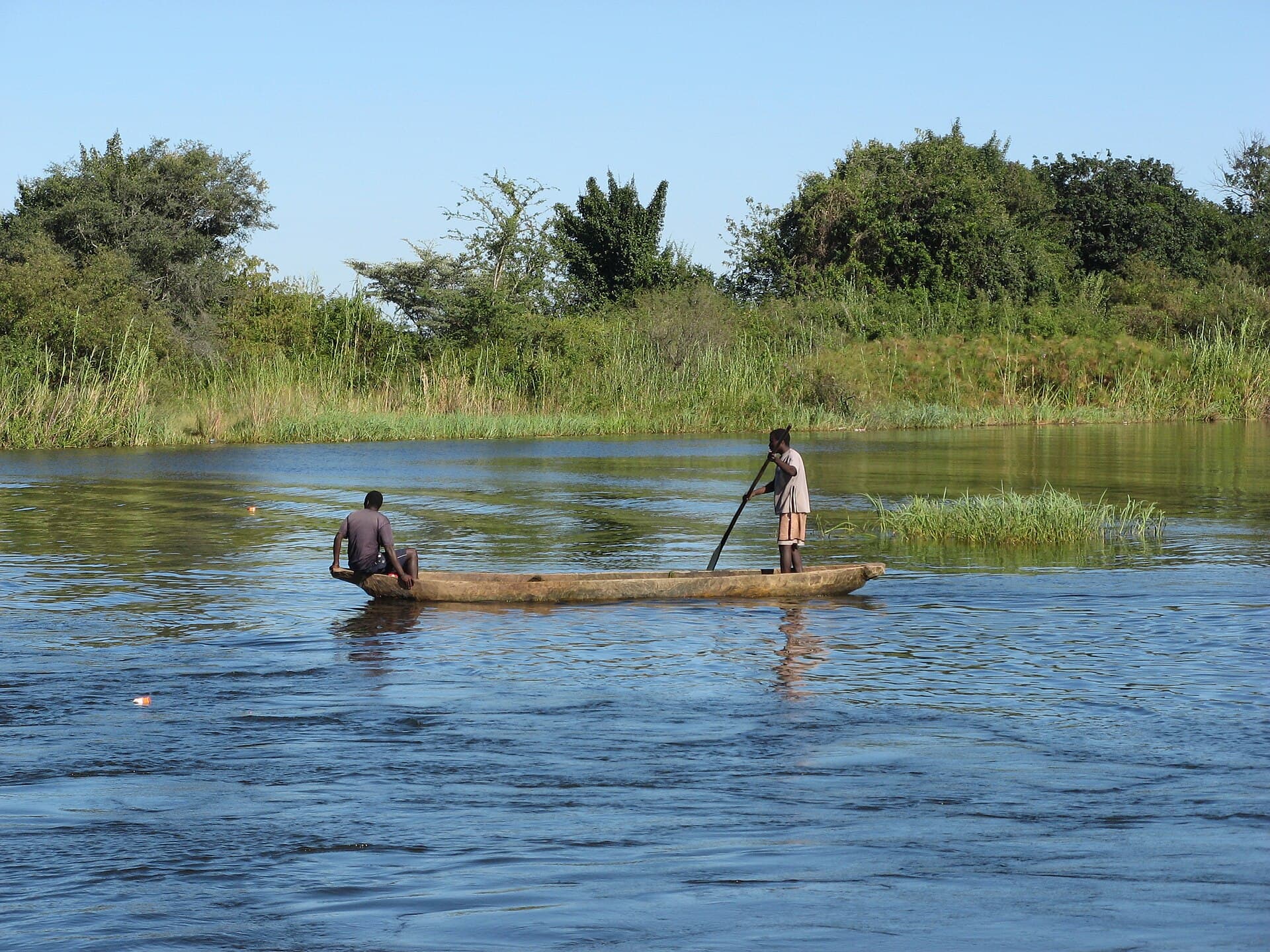
Zambia is where the walking safari began, in the Luangwa Valley in the 1950s, and walking still sets it apart: a qualified guide, an armed scout and a few guests moving quietly through big-game country. Add night drives in South Luangwa, canoes on the Lower Zambezi and the open floodplains of Kafue’s Busanga, and you have a safari shaped by three rivers rather than one set of plains.
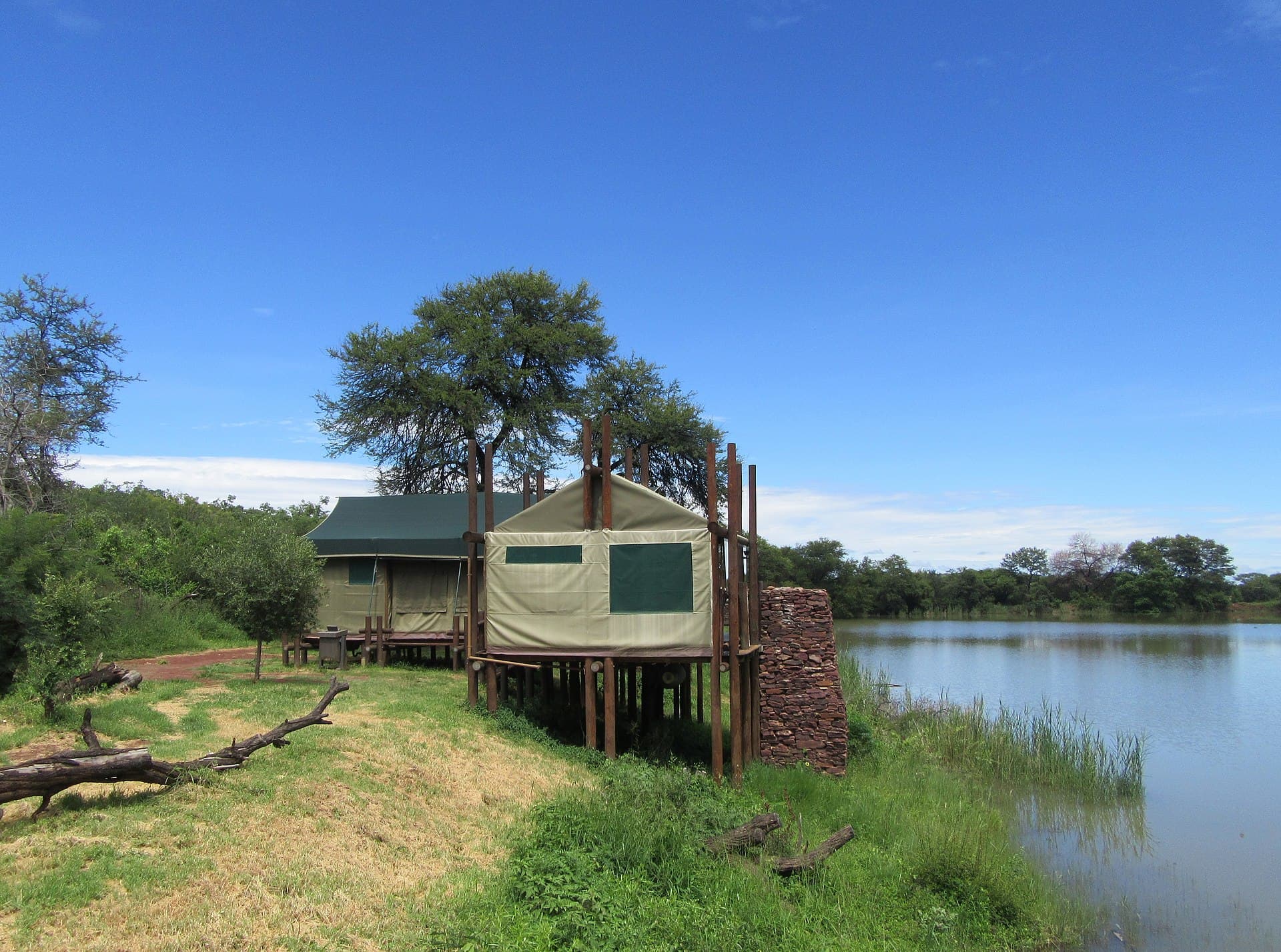
It is also a country that rewards planning. Many of the best camps are seasonal: the Luangwa’s bush camps, North Luangwa, the Busanga Plains and most of the Lower Zambezi open only for the dry months, while lodges around Mfuwe and parts of central Kafue run all year. Moving between them means scheduled flights to Mfuwe and Livingstone, light aircraft to airstrips such as Jeki and Royal, and soft bags packed to about 20 kg.
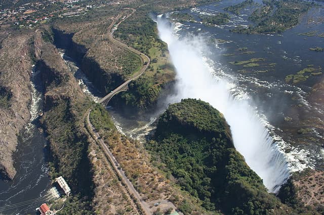
Then there are the spectacles few visitors know about: millions of fruit bats over Kasanka and wildebeest spreading across Liuwa Plain each November, shoebills in the Bangweulu swamps from late May, and the Zambian side of Victoria Falls at Livingstone. We cover each one honestly, including what the Lower Zambezi lacks and when the falls run low, so you choose with open eyes.
- ≈9,050 km²
- South Luangwa National Park
- ≈22,400 km²
- Kafue, Zambia’s largest national park
- ≈1,708 m
- Width of Victoria Falls (Mosi-oa-Tunya)
- ≈8–10 million
- Fruit bats at Kasanka in November
Figures are widely published approximations.