
Granite domes of Spitzkoppe rising from the Damaraland plains

Destination guide

Damaraland: Desert-Adapted Wildlife & Ancient Rock Art

Red basalt ridges, granite domes and sandy riverbeds where elephants and black rhino live on communal land, with no park fence and no gate in sight.

What it isAn informal region of communal conservancies and concessions in Kunene and Erongo, not a national park
Best timeMay–October, when days are warm, nights cool and wildlife stays near the riverbeds
Recommended stay2–3 nights; 3 if you want rhino tracking and Twyfelfontein
AccessAbout 1.5–2 hours by light aircraft from Windhoek, or 4.5–5 hours by road from Swakopmund
Known forDesert-adapted elephant and black rhino, Twyfelfontein, the Brandberg and Spitzkoppe
Highest pointKönigstein on the Brandberg, 2,573 m, the highest peak in Namibia

Damaraland

Why Visit

Damaraland is not a national park, and you won’t find it on a current administrative map. The name, a holdover from a former apartheid-era homeland, is still used for the rugged country in the southern Kunene and northern Erongo regions, between the Skeleton Coast and the farmland west of Etosha. Most of it is communal land managed as conservancies and tourism concessions such as Palmwag. Under Namibia’s communal conservancy system, local communities hold rights to manage wildlife and earn income from tourism on their land, which gives them a stake in keeping elephants and rhino alive. There are no gates and no fences: elephants, rhino and giraffe share the valleys with farming families and their goats.

Two animals draw most travelers. Desert-adapted elephants move along the ephemeral Huab, Aba-Huab, Ugab and Hoanib rivers, sometimes walking around 70 km between riverbeds in a single night. They are the same species as Etosha’s elephants; what sets them apart is learned behavior, from how widely they range to how they find water beneath dry sand and which plants they browse, passed down within each herd. The black rhino here roam free on communal land, watched over since 1982 by Save the Rhino Trust with trackers drawn from local communities, and joining those trackers on foot is the heart of desert rhino tracking.

The land holds a human story too. Twyfelfontein’s rock engravings, a World Heritage Site since 2007, record hunter-gatherer ritual over at least two thousand years, and the Brandberg shelters tens of thousands of paintings. Give Damaraland two or three nights, because one night is really a drive-through. The 8-Day Damaraland & Kaokoland Private Safari spends three nights here before flying north.

Best for

  • Travelers who want a conservation story, not just a sightings list
  • Walkers keen to track rhino on foot
  • Rock-art and geology enthusiasts
  • Photographers drawn to stark light and open land

Damaraland

Wildlife & Highlights

  • Desert-adapted elephants along the Huab, Aba-Huab, Ugab and Hoanib riverbeds
  • Free-roaming black rhino in the northern concessions, tracked with community trackers
  • Giraffe browsing camelthorn and mopane along the dry rivers
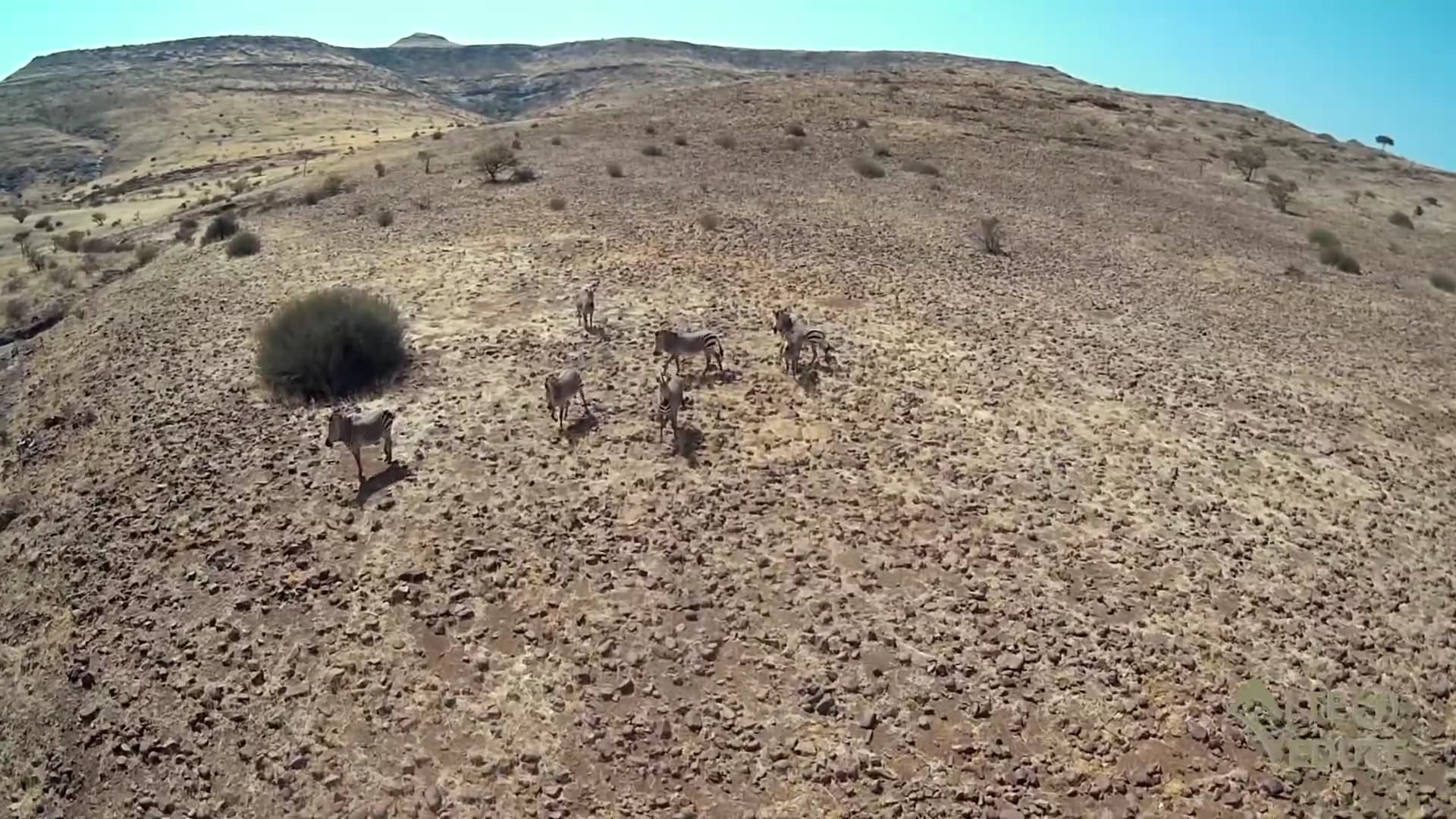
  • Hartmann’s mountain zebra on the stony slopes
  • Oryx, springbok, kudu and steenbok on the plains and in the valleys
  • Welwitschia plants on the gravel plains around the Petrified Forest, where fossil trunks lie in the open
  • Near-endemic birds such as Monteiro’s hornbill, Rüppell’s korhaan and the Herero chat
  • Engravings of rhino, giraffe, elephant and ostrich cut into the sandstone at Twyfelfontein

Season

Best Time to Visit

  1. January
  2. February
  3. March
  4. April
  5. May
  6. June
  7. July
  8. August
  9. September
  10. October
  11. November
  12. December
May–OctoberThe dry season. Days are warm and clear, early mornings can be cold, and elephants keep close to the riverbeds where water seeps near the surface. It is the most comfortable time for rhino tracking on foot and for the walk to the White Lady.
November–DecemberHeat builds and the first storms may arrive. Wildlife begins to disperse as rain falls in the hills, and activities shift to early starts and late afternoons.
January–AprilRainfall is erratic, but when it comes the plains flush green and the ephemeral rivers can flow for hours or days, cutting tracks. Malaria risk in Kunene is higher from December to April and the valleys run hot; the best time to visit Namibia guide weighs the trade-offs.

Damaraland

Areas to Know

Twyfelfontein & the Aba-Huab valley

Twyfelfontein, or /Ui-//aes, holds one of Africa’s largest concentrations of rock engravings: mostly rhino, elephant, ostrich and giraffe, along with six painted rock shelters, made by hunter-gatherers as part of ritual practice. You see them on a guided walk from the visitor center, ideally early before the rock heats up. UNESCO has noted that a lodge built inside the site’s buffer zone severely compromised one engraving area, a reminder of why light-footprint visits matter. Close by are the Organ Pipes, a cluster of dolerite columns, and Burnt Mountain, a hillside of shale discolored by ancient volcanic heat.

Best for: Rock art, geology and an easy-access base

Palmwag & the northern concessions

North of the veterinary cordon fence known as the Red Line, the Palmwag concession covers a vast area of red basalt hills and grassy plains, often quoted at around 4,000 km². This is the core of desert black rhino country, and the few camps here are built around tracking with community trackers and long drives in search of elephant and giraffe. Further north, the Hoanib runs toward the Skeleton Coast, whose fly-in camps sit on the edge of this country.

Best for: Rhino tracking and remote wilderness

The Huab & Ugab riverbeds

To the south, the Huab and Ugab cut west through the escarpment toward the Atlantic. For most of the year they are ribbons of sand lined with ana trees and camelthorns, and this is where desert-adapted elephants are most often followed. A morning drive with a guide who knows the herds’ recent movements is the usual approach. Distances are large and sightings are never assured, but a family group moving down a dry riverbed, dwarfed by the cliffs around it, is one of Namibia’s great sights.

Best for: Desert-elephant drives

The Brandberg

The Brandberg massif rises from the gravel plains to Königstein at 2,573 m, Namibia’s highest point, and covers about 650 km². Its ravines hold more than 1,000 rock shelters and some 45,000 paintings. The best known, the White Lady, is in the Tsisab ravine, about a 40-minute walk over rough, rocky ground; early claims that it showed a European woman have long been set aside, and it is now read as part of San ritual art. Go early, carry water and wear proper shoes.

Best for: Rock-art enthusiasts with a spare morning

Spitzkoppe

On Damaraland’s southern edge in Erongo, the granite peaks of Spitzkoppe, formed more than 120 million years ago, rise about 670 m above the plain to roughly 1,728 m. Natural arches and boulder fields make it a favorite stop on the drive between Swakopmund and Damaraland, especially in late-afternoon light.

Best for: A scenic stop on the road north from the coast

Damaraland

Getting There

Damaraland has no gates; you simply drive or fly into it. By road it links naturally with the coast and Etosha: from Swakopmund via Spitzkoppe and Uis it takes about 4.5–5 hours to Twyfelfontein, mostly on gravel, and Etosha’s southern gate is about 4–5 hours further on. By air, light aircraft land at strips near Twyfelfontein, Doro Nawas and Palmwag in about 1.5–2 hours from Windhoek. Along the roads near Uis and Kamanjab you will pass roadside stalls and settlements presented as Himba villages. The OvaHimba heartland lies further north, and visiting OvaHimba communities respectfully explains how we arrange visits instead.

Drive or fly?

On a guided road journey, the drive into Damaraland is part of the pleasure: Spitzkoppe’s granite, the Brandberg on the horizon and the slow change from coastal gravel plains to red basalt hills. Flying suits shorter trips and the remote concessions, where the camp’s guides take over in 4x4s built for the terrain. Roads are gravel and often corrugated and fuel stops are few, so distances take longer than a map suggests; how many days in Namibia has the driving times.

Airstrips & airports

  • Twyfelfontein airstrip
  • Doro Nawas airstrip
  • Palmwag airstrip

Typical travel times

Swakopmund to Twyfelfontein via Spitzkoppe
About 4.5–5 hours
Twyfelfontein to Etosha’s Andersson gate
About 4–5 hours
Windhoek by light aircraft
About 1.5–2 hours
Damaraland to the Kunene River by light aircraft
About 1.5 hours

Stays

Where to Stay

Stays range from comfortable country lodges in the Twyfelfontein valley, with pools, wide views and easy access to the engravings, to premium tented camps on community conservancies, where your stay helps support the people who share the land with wildlife. At the top end, a few remote tented camps in the Palmwag concession focus on rhino tracking and long days in the field. All are small and the best-placed ones are few, so book early for July–October.

Luxury lodge deck with loungers and umbrellas at golden hourComfort

Damaraland · Twyfelfontein valley

Sandstone-Valley Country Lodge · Twyfelfontein

Lodge

In the valleys around Twyfelfontein, country lodges of this style sit among red sandstone boulders, with stone-and-thatch chalets built into the landscape and a pool looking out across the plains. The rock engravings, the Organ Pipes and Burnt Mountain are all within easy reach, and many lodges arrange desert-elephant drives along the Aba-Huab and Huab rivers.

  • Chalets set among sandstone outcrops
  • Pool with valley views
  • Short drive to the Twyfelfontein engravings
  • Elephant drives arranged on request

Ideal for: Families and road-journey travelers who want comfort close to Damaraland’s best-known sights
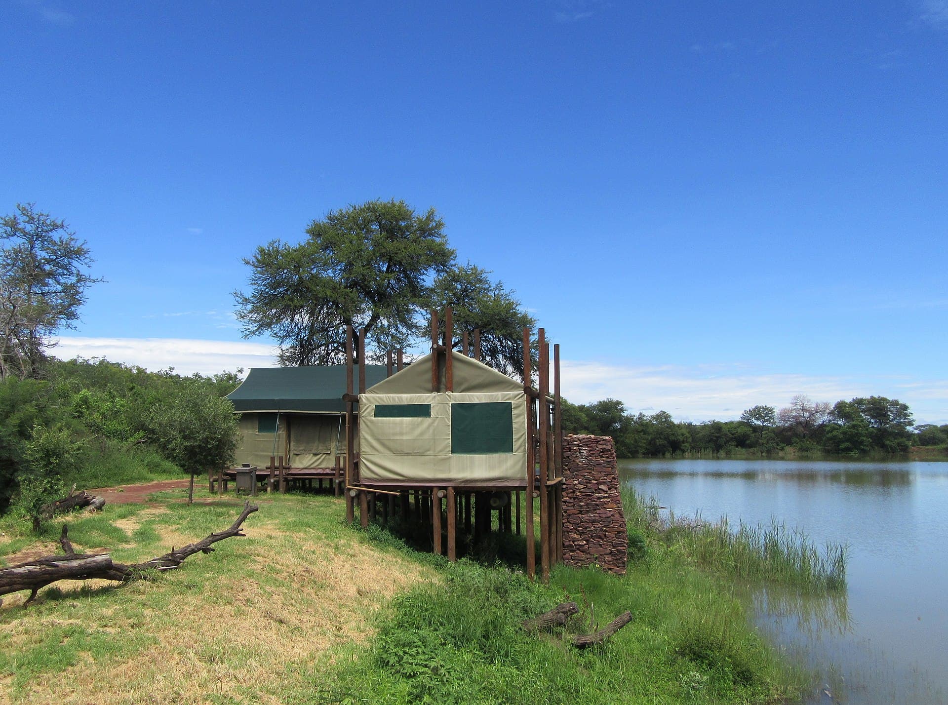
A canvas safari tent set among trees at a private tented campPremium

Damaraland · Community conservancy

Boulder-Hill Tented Camp · Damaraland

Tented camp

Tented camps in Damaraland’s community conservancies operate in partnership with the local residents who hold rights to the land, and part of the income flows back to them. Tents on raised decks look across boulder-strewn valleys, and guides lead walks, elephant drives and, from some camps, outings to track rhino.

  • Tents on decks with wide valley views
  • Guided nature walks from camp
  • Desert-elephant drives in nearby riverbeds
  • Income shared with the conservancy

Ideal for: Travelers who want comfortable tents, guided walks and a direct link to community conservation

A canvas safari tent set among trees at a private tented campLuxury

Damaraland · Palmwag concession

Palmwag Rhino-Tracking Camp

Tented camp

Deep in the Palmwag concession, a remote tented camp of this kind exists largely for one purpose: to take guests tracking free-roaming black rhino on foot, alongside trackers who work with Save the Rhino Trust. Tents are comfortable and quietly luxurious, the basalt hills and euphorbia plains stretch for miles, and the nights are completely still.

  • Rhino tracking on foot with expert trackers
  • Few tents in a vast concession
  • Desert-elephant and landscape drives
  • Access by light aircraft to a nearby airstrip

Ideal for: Serious wildlife travelers and photographers who want their best chance of a desert rhino encounter

Experiences

Experiences

Granite domes of Spitzkoppe rising from the Damaraland plains

On foot

Desert Rhino Tracking on Foot

Follow community trackers across Damaraland’s rocky hills in search of free-roaming black rhino, then walk the final stretch in silence.

After dark

Stargazing & Dark Skies

Sleep under some of the darkest skies on earth, with the Milky Way overhead, the Magellanic Clouds rising and the southern constellations explained.

Safaris

Safaris That Go Here

Red curve of Dune 45 at sunrise in Sossusvlei, Namibia
14 daysPrivate guide

Namibia Grand Loop

Windhoek · Sossusvlei · Swakopmund · Spitzkoppe · Damaraland · Etosha National Park · Eastern Etosha · Okonjima

First-time visitors to Namibia who want to see the whole country properly, with time to stop, walk and ask questions

Best months
April–November
Comfort levels
Comfort · Premium · Luxury
Individually quoted
Granite domes of Spitzkoppe rising from the Damaraland plains
8 daysRemote

Desert Rhino & the Kunene

Windhoek · Damaraland · Kaokoland

Seasoned safari travelers who value wilderness, conservation and silence over a long species list

Best months
April–September, before the heat builds
Comfort levels
Premium · Luxury · Ultra-Luxury
Individually quoted
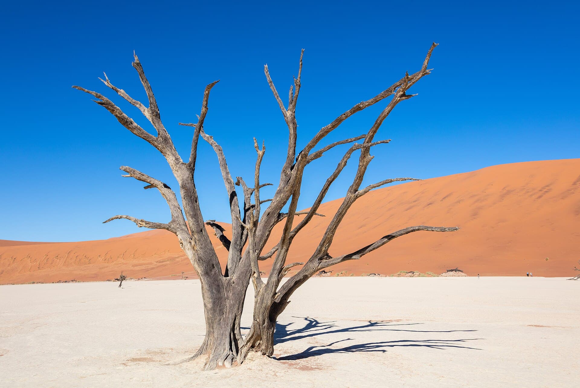
Ancient camelthorn tree on the white clay pan of Deadvlei
10 daysHoneymoon

Dunes, Stars & the Cape

Windhoek · NamibRand · Sossusvlei · Damaraland · Cape Town

Couples who want space, silence and striking landscapes, then a stylish city finale

Best months
March–May and September–November
Comfort levels
Premium · Luxury · Ultra-Luxury
Individually quoted

Good to know

Frequently asked questions

Is Damaraland a national park?

No. It is an informal name for parts of the Kunene and Erongo regions, made up of communal conservancies and tourism concessions rather than a fenced park. There are no entry gates, and wildlife moves freely among farming communities, which is exactly what makes it unusual.

Where can you see desert elephants in Damaraland?

Along the ephemeral rivers, chiefly the Huab, Aba-Huab, Ugab and Hoanib, where water lies close to the surface and trees provide food. The herds range widely, so guides follow their recent movements each morning. Sightings are frequent in the dry season but never assured.

How many nights should you spend in Damaraland?

Two nights at a minimum, and three if you can. That gives you one morning for rhino tracking, another for a desert-elephant drive or Twyfelfontein, and time to enjoy the landscape rather than just crossing it.

Can you visit Twyfelfontein on your own?

Visits to the engravings are made on foot with a local site guide from the visitor center. The paths cross uneven, rocky ground, so wear sturdy shoes, bring water and a hat, and go early before the rocks heat up. Allow an hour or two.

Is the White Lady painting worth the walk?

If rock art interests you, yes. The walk up the Tsisab ravine takes about 40 minutes over rough ground, and the painting sits under an overhang among other figures. Start early, as the ravine gets very hot by midday.

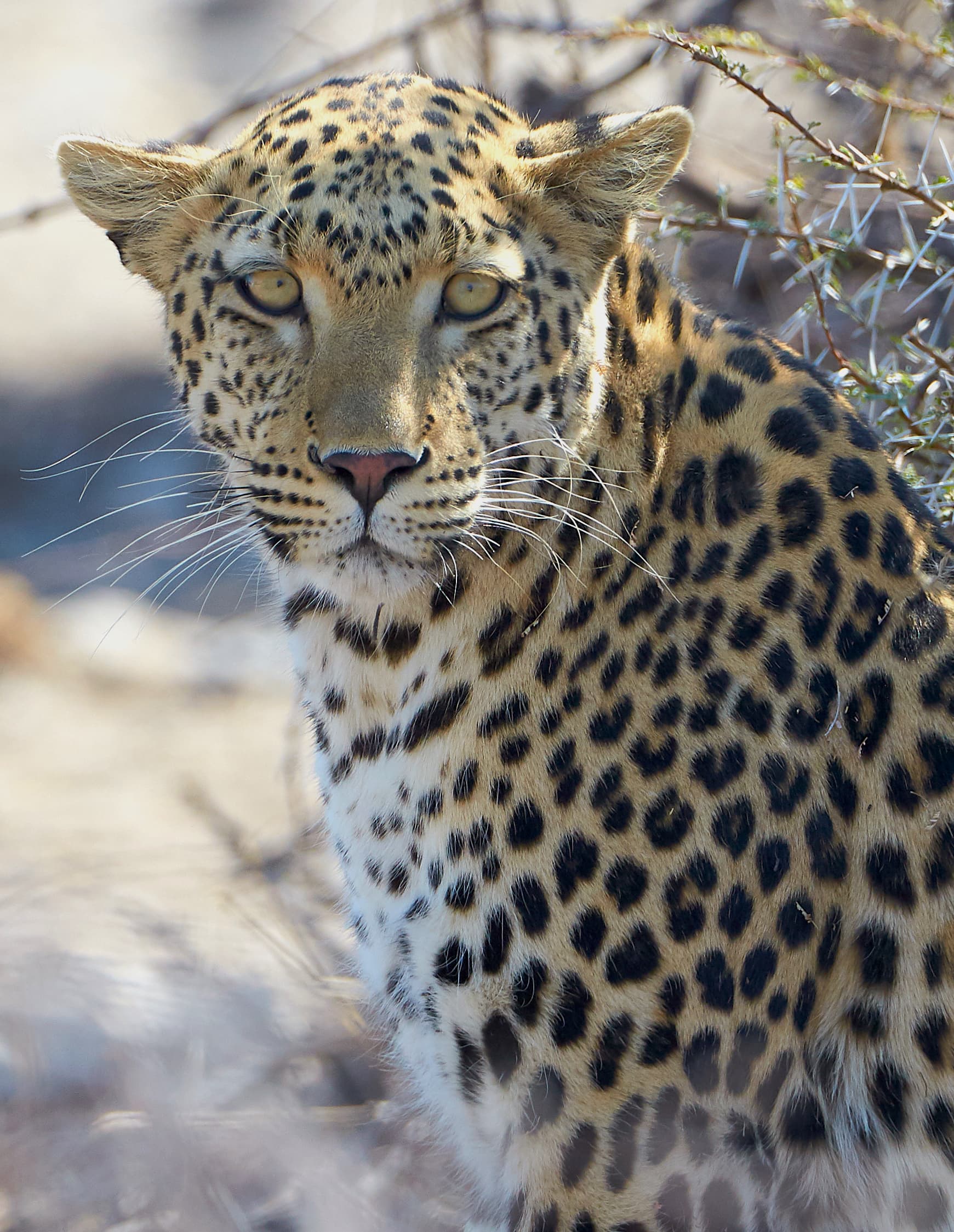
Close leopard portrait in golden light

Tell Us How You Picture Namibia

Share your dates, who is traveling and whether you imagine dunes at dawn, rhino tracks in Damaraland or a waterhole at night. We’ll shape a private route around those ideas and talk you through every choice before anything is confirmed.

Plan my safari here